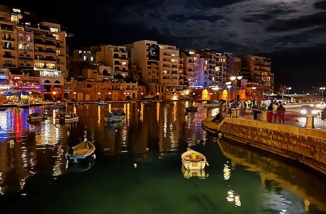
Explore the beauty of Malta, Gozo and Comino
Malta Awaits: Your Next Dream Destination
This is your complete guide to travelling in Malta. It includes must-see places, activities you shouldn’t miss, and hidden gems.
Start Here…
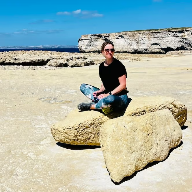
Hello, I’m Laura…
I’ve been living in Malta since 2011 and know these islands like the back of my hand. You might say I’ve become a bit of a Malta expert!
Think Malta’s all about beaches and Valletta? Think again! I’m here to show you so much more. There are incredible spots most people never hear about.
I can’t wait to share my top travel tips and local secrets with you. From must-visit sites to hidden treasures, I’ll make sure you see the best of Malta, Gozo, and Comino. Let’s explore these stunning islands together!
Featured Posts
-
![Malta Car Rental: Everything You Need to Know [2024]](data:image/svg+xml,%3Csvg%20xmlns='http://www.w3.org/2000/svg'%20viewBox='0%200%20665%20435'%3E%3C/svg%3E)
Malta Car Rental: Everything You Need to Know [2024]
-
Your Guide to the Best Valletta Walking Tours, Malta [2024]
-
![A Complete Guide to Top Things to Do in Gozo [+Map]](data:image/svg+xml,%3Csvg%20xmlns='http://www.w3.org/2000/svg'%20viewBox='0%200%20661%20435'%3E%3C/svg%3E)
A Complete Guide to Top Things to Do in Gozo [+Map]
-

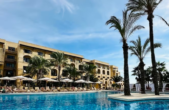
Discover Luxury: The Top 5-Star Hotels in Malta and Gozo
-
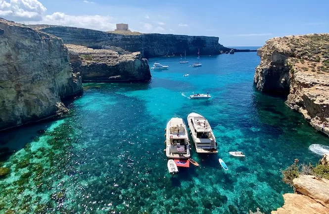
The Best Malta Blue Lagoon Tour: A Local’s Advice
-
Top Recommended Villas in Gozo with a Private Pool
-

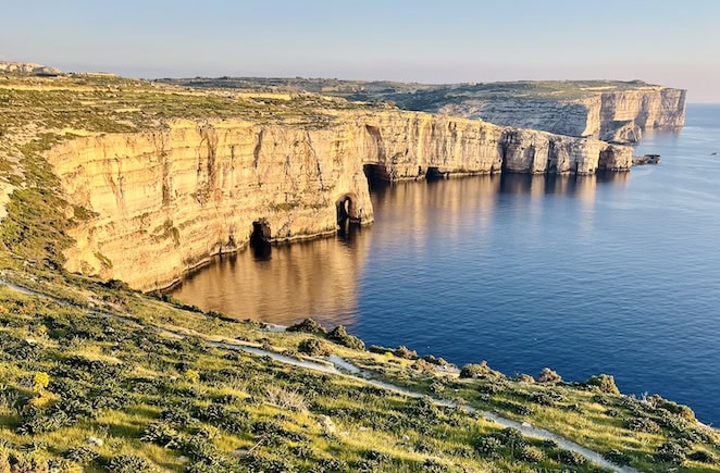
Uncover the Best Things to Do in Malta: Your Ultimate Guide
-
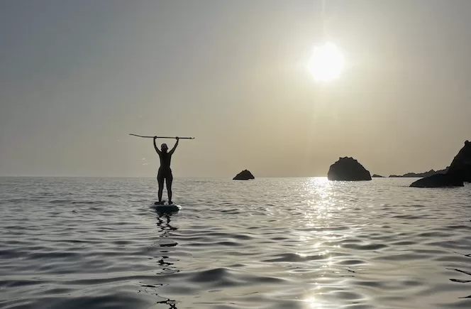
Water Sports in Malta: A Complete Guide to Sea Adventures
-
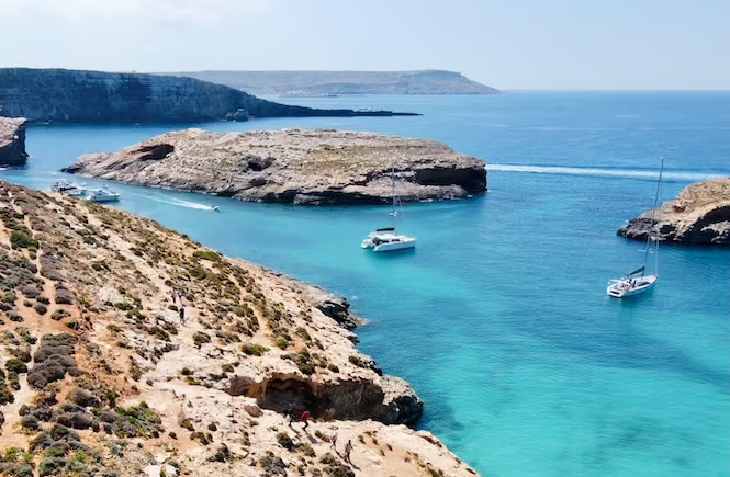
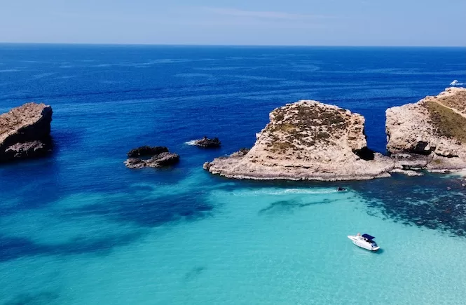
A Complete Guide to the Blue Lagoon and Comino Island
![Malta Car Rental: Everything You Need to Know [2024]](https://travel2malta.com/wp-content/uploads/2023/08/Malta-Car-Rental-jpg.webp)
![Your Guide to the Best Valletta Walking Tours, Malta [2024]](https://travel2malta.com/wp-content/uploads/2024/01/IMG_7318.jpg)
![A Complete Guide to Top Things to Do in Gozo [+Map]](https://travel2malta.com/wp-content/uploads/2022/12/Things-to-do-in-Gozo-Fungus-Rock-jpg.webp)